Peak District
Click here for details of our walks in the area.

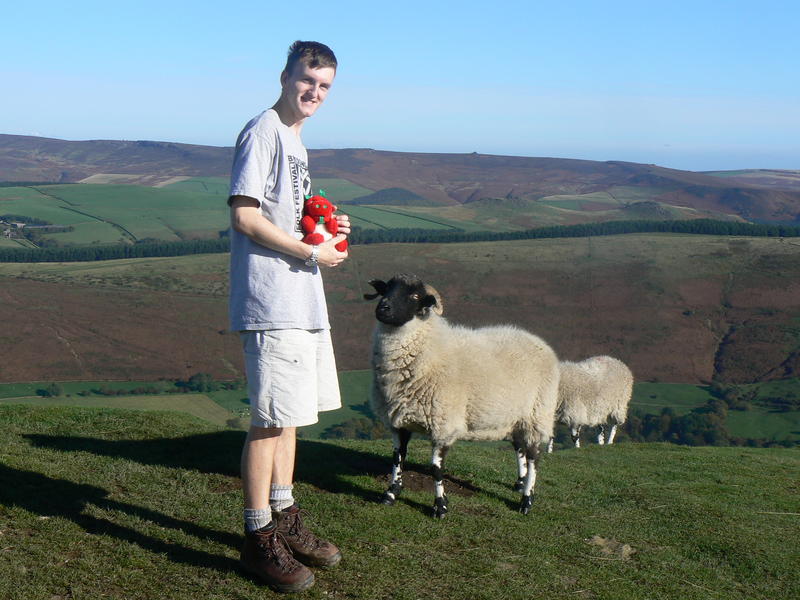
Traditionally this has been the first weekend away of the year and takes us the furthest north. For those who don't know, the Peak District is a National Park in Derbyshire, England, just north of the Midlands. The area was the first in Britain to be given National Park status and although popular with tourists, is still a well preserved area of varying character.
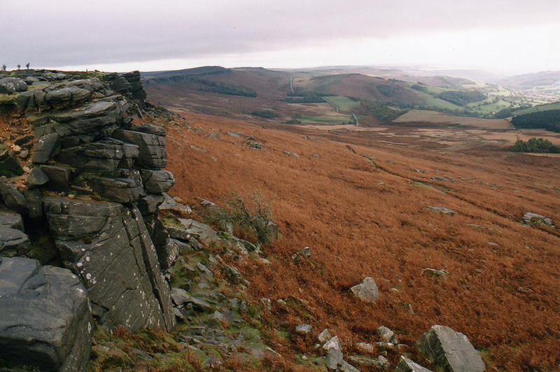
The expansive horseshoe of dark granite rock marks the rugged and mountainous scenery of the Dark Peak whilst the inner limestone region gives rise to the gentle pastoral landscape of summits, dales and rivers that make up the White peak.
To the people of the surrounding industrial cities of Sheffield, Manchester, Stoke-on-Trent, Derby and Birmingham, the Peaks District has always been an important recreation area, a means of escaping their boring, dirty lives in the grime of these great industrial towns. While activities such as cycling and hiking were becoming more popular, the great moorlands remained prohibited land, either owned by the water companies or by the wealthy whose gamekeepers reared grouse on the upper slopes. While some landowners issued permits for walkers, others published photographs of trespassers and gave rewards for their identification.

The growing unemployment and political awareness of the working classes lead to a number of protest rallies, attended by up to 10, 000 walkers. Things came to a head in 1932 when 400 hikers set out to stage a mass trespass on the peat plateaux of Kinder Scout. Scuffles broke out with the keepers leading to six ramblers receiving prison sentences of up to six months.
Many other similar events and protests followed and in 1951, the peak District became Britains first national Park. Today there is free access to over 76 square miles except for a few days for grouse shooting. The Peak District is the most southern part of the chain of upland areas that make up the Pennines. The long distance footpath, the Pennine way begins its northern journey just above the tiny village of Edale, close to the Kinder massif. The White Peak owes much of its character to the effects of water as rivers cut underground forming the many caves and caverns that underlie the area. Until the 1870`s, lead mining was a principle industry in this area, mineral veins in the limestone rock yielded the precious material which was extracted from over 30, 000 workings often with peculiar names such as Hit or miss, Hanging eye, Boggart hole and Wanton legs. The work was cold, wet and dangerous but still it continued until the 1600`s when better drainage was employed to obtain the deeper ore. Although mostly capped or collapsed, the shafts that show the legacy of this vanished industry are still a potential hazard to walkers in the former mining regions.
Our walks in the area
Peak District Weekend Away - Grade B
Departing from Swansea on Friday afternoon, we will arrive later that evening in the Peaks after a long motorway drive up north. For the past few years, we have stayed in hostel type accommodation, not far from the villages of Castleton and Edale in the Dark Peak. The building, a converted station is next to a railway line but trains are infrequent and with a pub in easy walking distance. Accommodation is quite adequate with several dormitories, kitchen, bathroom and lounge.
Walks will probably include Kinder Scout and Mam Tor. Kinder Scout is the highest mountain in the region and has a wide 7-mile plateau on top. Consisting of deep peat and crossed by many trenches, the area has a somewhat lunar appearance. After crossing the peat, the path emerges by Kinder Downfall, a long, thin stream of water plummeting into the valley below. On a fine day, views extend many miles.
Mam Tor is the location for another possible walk, Lying between Castleton and Edale. Called the shivering because its layers of soft shale are prone to collapse, the main A625 road, which passed beneath, has now been closed due to extensive landslips. The path runs the length of the hill, descending by an ancient fort. The town of Castleton has a wide range of gift shops, tea rooms, book shops and shops displaying products made from the locally mined mineral, Blue John. The old workings used to mine this and later lead can be visited, including one where an underground canal boat takes visitors to a subterranean cavern.
Photos from this walk are available here - For a map covering the walk area click here.
For a complete list of our hikes planned for this academic year please see our walks programme.
